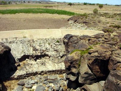
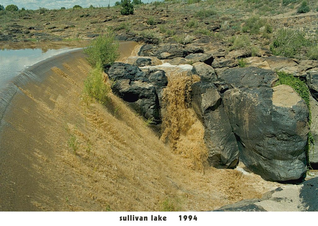
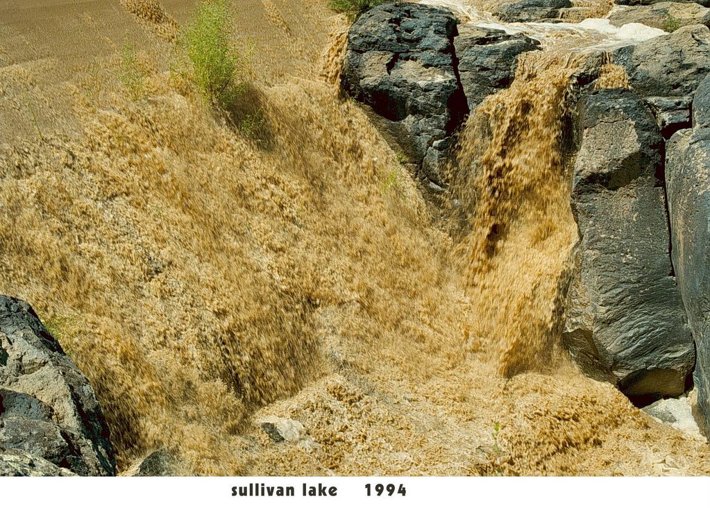
The place: the old dam at Sullivan Lake. It's the point on the map where the Verde River officially begins. On the upside of the dam, the water course is called Big Chino Wash. It's one and the same, the Verde and the Big Chino -- I've always suspected that the fast change of names has something to do with old-time Arizona water politics: ranchers vs. the Salt River Project (which
owns the Verde but not the Big Chino.)
Currently, that's beside the point. The photos with this post were taken a week ago, before a couple of big storms up north. I doubt if the storms have changed the picture much.
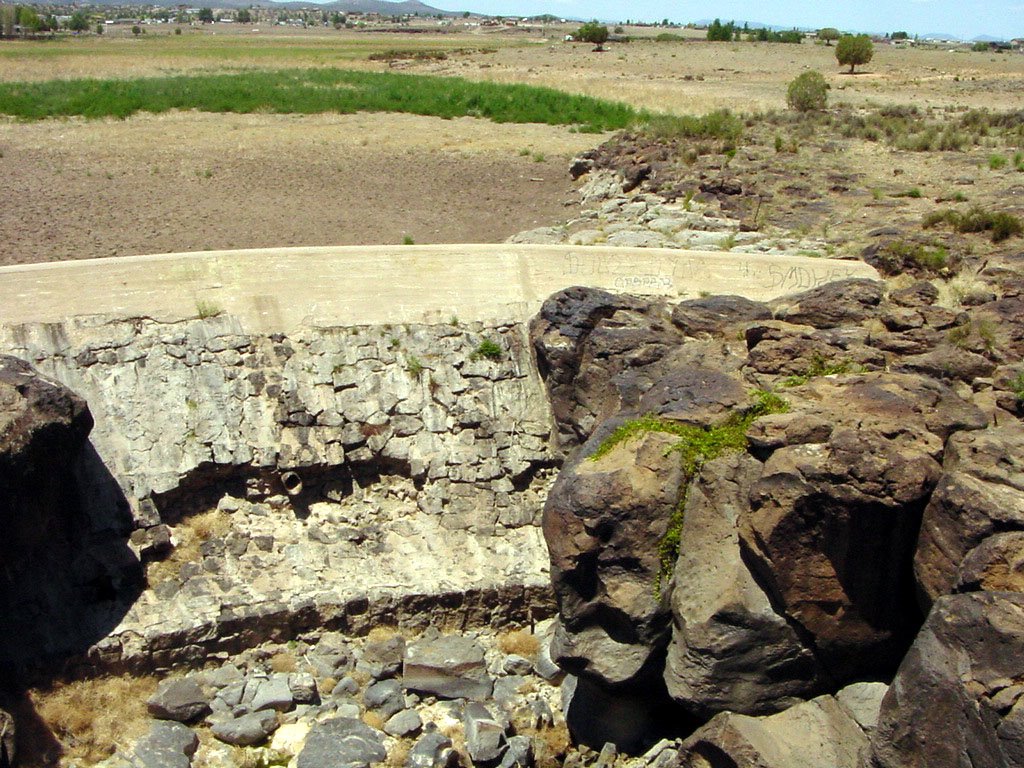
I've never seen it so dry at this dam! Sullivan Lake is absolutely sere. The Little Chino Wash which also flows into Sullivan Lake was devoid of
any vegetation; in recent years, it usually supported cattails.
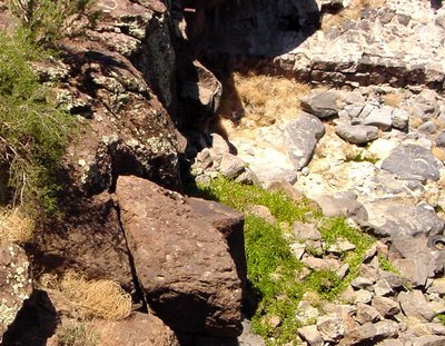
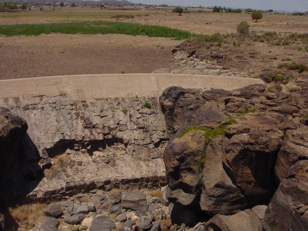
Try to visualize the picture above as one taken from well above the canyon wall. At the right rear is the bottom of the dam. In past years, no matter how dry Sullivan Lake, there's
always been a pool of water at the foot of the dam, complete with fish and frogs. Not in our current drought state. The only sign that this is a water course is the grape vine.
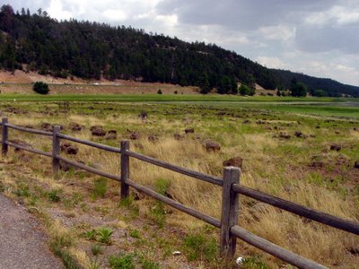
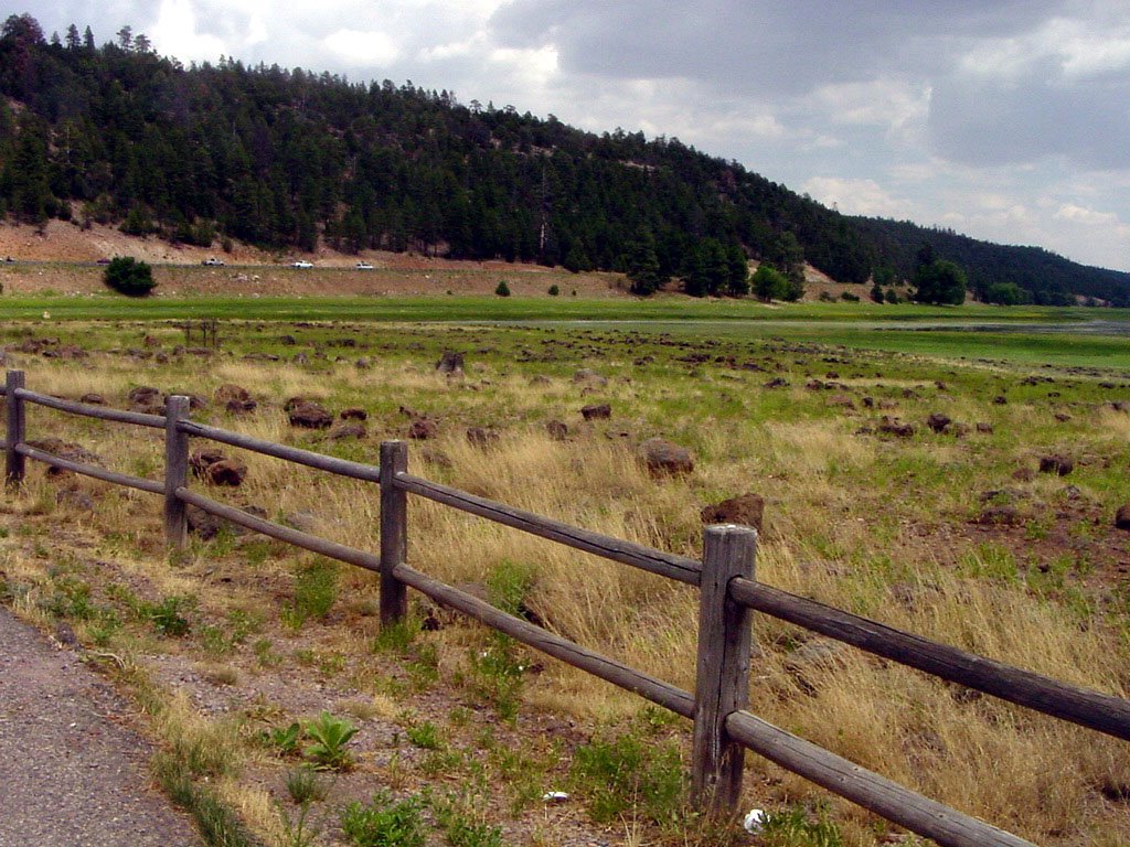
Lower Lake Mary up near Flagstaff isn't nearly as sere as Sullivan. However, the actual "lake" consists of a mere ribbon of water that traces the original route of the creek that feeds the lake. Last year, not only were those fence rails under water, thanks to our wet late winter, but water was actually pouring over the dam.
 Looking east as Old Hwy. 89 crosses the Verde, bridges dominate. Plus the old lava flow which adds a third layer to the picture. OK, there's also that famous Big Sky for which the west is known.
 But the most remarkable feature of our trip yesterday with sheoflittlebrain and E. is directly above: there's water in Sullivan Lake! The last time I saw Sullivan, it was bone dry.
 Peer over the bridge railing to see still more water below the dam. A great place for frogs, algae and wild grape vines.
 The pools under the old Santa Fe bridge are in the shadows; the petroglyphs are too small to be seen.
 Slightly different lighting does make the pools more visible.
 Obviously that railroad bridge is a perfect spot for 1) bungee jumping, 2) crossing the canyon on a dare, 3) other mischief. So the powers that be erected barricades at either end out of old rails plus loops of today's ubiquitous razor wire.
 Of course, laws and razor wire do little to stop determined litter-atti, who dispose of old bedsprings...
 ...or harbor the urge to shout loudly in public places.
 This particularly objectionable graffiti has been in place since I took pictures a year and a half ago. But despite the encroachment of uncivilization, twas oh so good to see the water!!





 Posts
Posts


