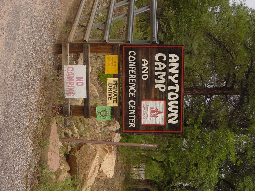
All right, already. Call me picky, picky. However, today marked the second time that our daily newspaper has printed the same incorrect map. On page 1. Story about Lincoln School's property problem. How do I know? Well, I happen to walk the area frequently, as you may have noted. Examine the map above. Picture yourself in your car, heading straight up Beach street from the back side of the Sharlot Hall Museum to get to Lincoln school.
 Oh oh! What have we here? Look what's ahead of you. Even in your SUV, you aren't going to get up this little cliff! Pretty, though. Quite walkable -- there's a well worn neighborhood path. Yes, this is on some maps as part of Beach Street.
 Now here's the map with my corrections. See the little stub of Beach? See the "new" street going past the other side of the United Methodist Church over to Gurley? MapQuest online has corrected its map to this configuration. On the other hand, my 2003 edition of the Yavapai/Coconino Counties Street & Road Atlas still shows the map just as the Courier printed it.
By the way, that isn't the only Prescott street found on some maps that in the real world goes over a cliff. Likely, the problem is that city rights-of-way do exist and the map makers mistake them for actual thoroughfares. No way. They should get out on the land more often!
As for the Lincoln School property problem -- I'd say that the city should quietly deed its "strip of land" over to the school and be done with it. After all, it did pass the whited-out portion of Beach Street to the adjacent land-owner, I'm told. And, after all, city had apparently lost the piece of land which the school has used for all these years. Isn't there a term for land ownership that passes as a result of long-term use? Oh, yes -- squatters' rights.







 Posts
Posts