
I'm still not used to the idea of an SR89A with four lanes of traffic. Nor an on-ramp to a straight-away rather than a curve through rocks in the Dells to cross Granite Creek. In all the years that I've known Prescott, this pretty approach to the bridge is an essential start to the trip to Jerome. In case you've already forgotten, you take a right off SR89 at the Pinon Pines biker bar.


Drive a short distance and there's the old bridge, thoroughly blocked off by both a gate and a precast barrier.


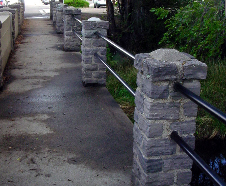
Apparently the old-style railings (above) were sufficiently rotted on one side that they were replaced by more of those dreadful precast barriers (below). I could moan and groan about those barriers for as long as you'd listen; reason? They completely block off the view of any stream that one might be crossing on a bridge. In a dry state like Arizona, a glimpse of water in nature is to be savored, not censored.


Here is one such view (above) from the bridge, looking south toward the Dells. Looking to the north (below), one sees the dam, the gauge and the works controlling the old Chino Valley irrigation ditch.


As my neighbor and I walked toward the dam, I caught this view of the bridge, looking south. Note how un-bridgelike those dang precast barriers make the structure look.

The one shiny new gizmo among this collection of yesterday's engineering is a
stream flow gauge operated by the USGS (above), which goes into action if we have flood waters. Below, you can see the start of the Chino Valley ditch which carried water from Granite Creek to farms to the north beginning in 1915. (It probably is already forgotten by many local folk that Watson and Willow Lakes were finally bought by the City of Prescott from the Chino Valley Irrigation District as recently as 1998.)


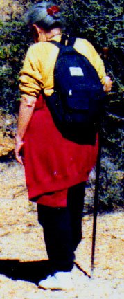
And, just for the record, a picture of GrannyJ photographing the fallen leaves floating on the still waters of the dammed creek.
 I'm still not used to the idea of an SR89A with four lanes of traffic. Nor an on-ramp to a straight-away rather than a curve through rocks in the Dells to cross Granite Creek. In all the years that I've known Prescott, this pretty approach to the bridge is an essential start to the trip to Jerome. In case you've already forgotten, you take a right off SR89 at the Pinon Pines biker bar.

 Drive a short distance and there's the old bridge, thoroughly blocked off by both a gate and a precast barrier.
 Apparently the old-style railings (above) were sufficiently rotted on one side that they were replaced by more of those dreadful precast barriers (below). I could moan and groan about those barriers for as long as you'd listen; reason? They completely block off the view of any stream that one might be crossing on a bridge. In a dry state like Arizona, a glimpse of water in nature is to be savored, not censored.
 Here is one such view (above) from the bridge, looking south toward the Dells. Looking to the north (below), one sees the dam, the gauge and the works controlling the old Chino Valley irrigation ditch.
 As my neighbor and I walked toward the dam, I caught this view of the bridge, looking south. Note how un-bridgelike those dang precast barriers make the structure look.
 The one shiny new gizmo among this collection of yesterday's engineering is a stream flow gauge operated by the USGS (above), which goes into action if we have flood waters. Below, you can see the start of the Chino Valley ditch which carried water from Granite Creek to farms to the north beginning in 1915. (It probably is already forgotten by many local folk that Watson and Willow Lakes were finally bought by the City of Prescott from the Chino Valley Irrigation District as recently as 1998.)
 And, just for the record, a picture of GrannyJ photographing the fallen leaves floating on the still waters of the dammed creek.







 Posts
Posts


