 To readers from far away, here are views of downtown Prescott; to local readers, your chance to get a hillside view of our town so you can pick out all the details. Obviously the place to start: the Courthouse, with the city parking garage in the foreground and Union Street going up the hill on the other side.
 Gurley Street, from the McCormick Street condo building (left foreground) all the way to the Hassayampa Hotel. including even a few Victorians at the very top. Plus the old Masonic building on Cortez peeking over the other buildings.
 Compressed buildings over on Godwin Street, starting at the corner of Montezuma and looking east, including the post office, City Hall and the Chamber of Commerce.
 Yavapai College buildings are at the very top of this view; the red brick structures are the Fine Arts Assn. building and the former movie house converted into offices for the Social Security Administration.
 Here you can look all the way from Albertson's and the old Depot to the many white buildings of the VA hospital complex and up to the top of our local volcano, Glassford Hill.
 A hillside full of houses.
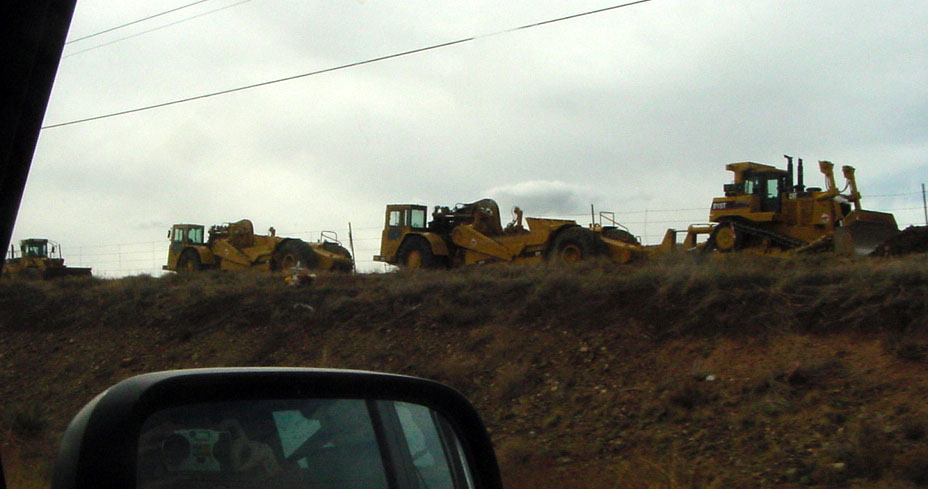
 The hillside scar that always accompanies a new building...
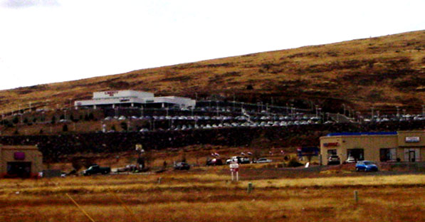
 Though only a Big Box (Lowe's) would make a scar like this one! In the foreground, the balconies of the old Head Hotel show, as well as a major antenna tower.
 McMansions near the Senator Highway, which leads into the forest south of town. As you can see, our downtown is very compact -- and full of trees, which, at this season, are barren and gray. The gray green foliage you see in many of the pictures is primarily scrub oak and juniper. Pictures, using the extreme zoom lens setting, were taken from a nearby hillside on the west side of town. When I got back to the house, a hungry robin was on a juniper, gobbling down the berries. The only picture I was able to get showed the tip of its tail and its beak. Ah, well. Win some, lose some.
Linkages: Some splendid pictures of remnants from days past by friend Bobbi (all local, by the way); Firefly Forest who takes wonderful nature pictures has just posted desert-in-bloom pix from down Picacho Peak way. And if you're looking for something strange, I give you the World Dream Bank. Speaking of dreams: if you happen to have a spare $5 mil, you might want to buy the acreage at the top of Mt. Tritle; it's on the market, according to Prescott Style. Tritle is the middle peak of the three highest mountains due south of town.









 Posts
Posts


